For most of automotive history, civil engineers and automotive engineers have operated independently. Civil engineers have built and maintained roads, bridges, and traffic systems, while automotive engineers have designed the vehicles that travel on them. Both have worked towards safer and more efficient transportation, but rarely shared data, tools, or common perspectives on the problems they were trying to solve.
Acknowledging this discrepancy, Professor Darcy M Bullock, Lyles Family Professor of Civil Engineering at Purdue University, held a tutorial at AutoSens USA 2026 in Detroit. He noted that connected vehicles are creating a new relationship between automakers, transportation agencies, academia, and government.
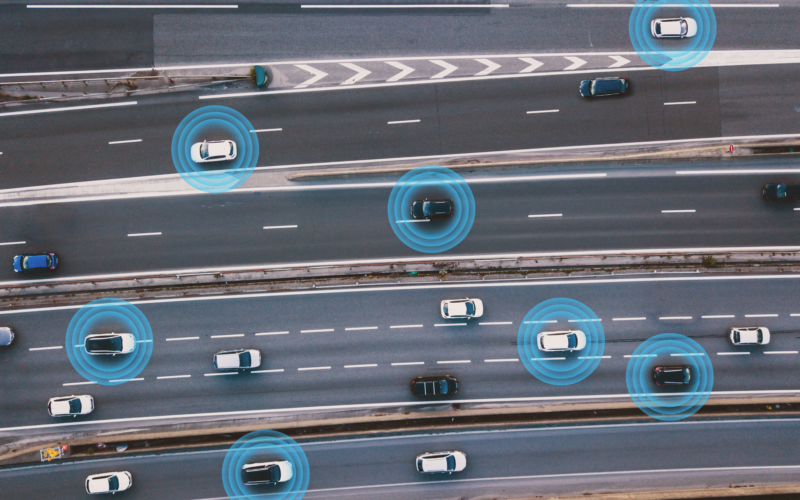
This is a crucial and valuable progression, as modern vehicles increasingly know more about the condition and performance of road networks than the agencies responsible for managing them. With a multitude of data available, integrating and applying it can help improve road safety and efficiency.
To do so, transportation agencies, industry, and researchers must become better at intergrating data sources and using them to inform day-to-day operations and long-term investment decisions.
This need becomes especially important when considering the scale of transportation spending. Through legislation such as the BUILD America 250 Act and other long-term infrastructure funding programs, governments are investing hundreds of billions of dollars into transportation networks. As such, these investments should be informed by reliable data.
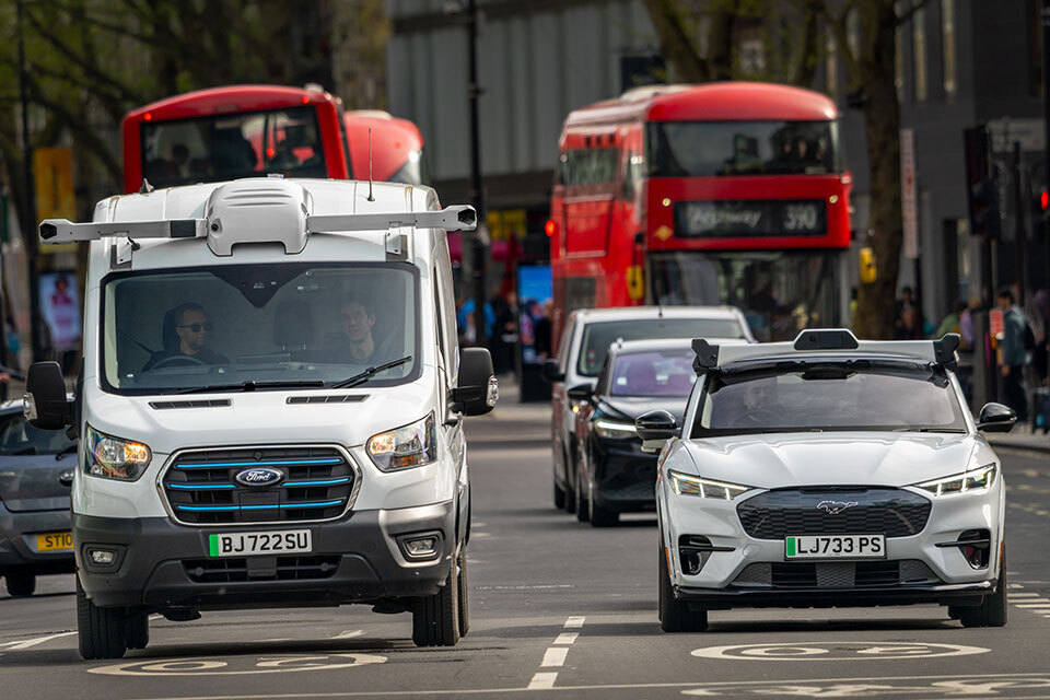
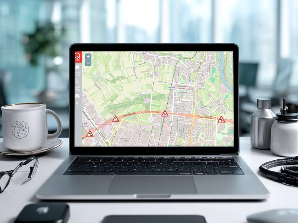
Today’s vehicles generate telematics data that can reveal traffic speeds, congestion patterns, weather impacts, pavement conditions, incident locations, and infrastructure quality. Navigation platforms such as Waze and Google Maps already demonstrate some use cases of aggregating vehicle data to understand network performance in real time, including warning drivers of upcoming traffic buildups. Meanwhile, transportation agencies are beginning to explore how copiuos, in-depth information can support public-sector decision-making.
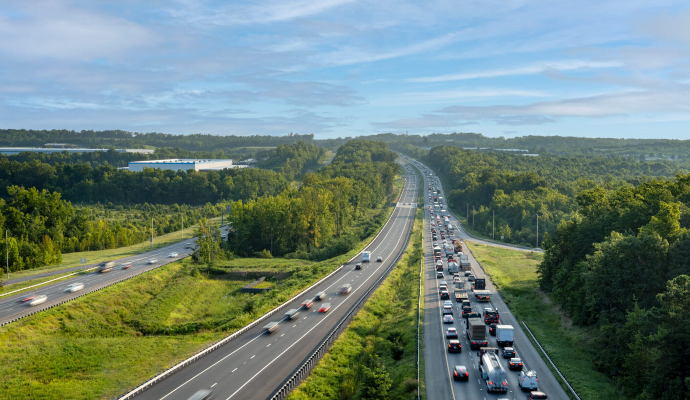
An example discussed during the session was the National Mobility Analysis for All Interstate Routes, developed at Purdue University. The study analysed traffic and travel-time data across the entire U.S. Interstate Highway System to measure congestion, reliability, and freight mobility performance. Here, evaluating conditions across state boundaries provides insights that would not be apparent from analyses limited to individual jurisdictions. Projects such as these offer a more comprehensive picture of transportation performance across interconnected networks rather than within isolated geographic areas.
Enhancing Safety
The value of connected vehicle data becomes particularly clear when examining road safety. Historically, transportation agencies have often relied on crash statistics to identify dangerous locations.
Connected vehicle data provides an earlier warning signal. The U.S. Department of Transportation has explored measures such as hard braking events as indicators of emerging safety concerns. According to examples presented by Bullock, some locations may experience roughly 147 hard braking incidents for every reported crash. These events can act as leading indicators, helping agencies identify problematic locations before serious collisions occur. In this model, a crash is no longer the first sign that something is wrong.
Additional technologies are further expanding the insight possibilities. Connected fleets equipped with cameras can provide visual context when traffic heat maps reveal unusual congestion or recurring disruptions, enabling agencies to understand why it exists. Similarly, tyre pressure and vehicle dynamics data can be used to assess pavement roughness, and data from lane-keeping systems could help transportation agencies evaluate the visibility and quality of pavement markings.
The Access Challenge
Despite the quantity of this data, much of it remains in private hands, and public agencies face significant costs to obtain them from automakers.
As an alternative, transportation agencies occasionally collect their own data on public vehicles such as buses. For example, Transport for New South Wales (NSW) previously used Cisco IoT Edge routers to digitise the road surface and identify areas that needed maintenance.
Furthermore, demonstrating the potential for collaborations with private companies, Waymo and Waze recently announced a pilot programme designed to provide cities with additional data on road surface conditions. This initiative uses data from Waymo’s autonomous vehicle fleet to identify potholes in areas where its vehicles operate. The information is then shared with local authorities through the free-to-use Waze for Cities platform, alongside pothole reports submitted by Waze users.
However, these avenues limit the geographic scope and consistency of data collection. Public fleets operate only on specific routes, while autonomous vehicle deployments remain concentrated in a relatively small number of cities. As a result, transportation agencies seeking a comprehensive view of network conditions often require access to data from a broader range of vehicles operating across diverse environments.
Indeed, even when sourcing from mass-market private vehicles, Bullock acknowledged that transportation officials preferably seek data from multiple vehicle manufacturers, because different brands operate in varrying geographic areas and driving environments. A single manufacturer’s dataset may provide only a partial view of network conditions.
As such, public agencies are increasingly interested in information about public roads that is generated by privately owned vehicles, which can come at a high cost. This creates a tension, where transportation agencies and automakers share a common interest in safer, more efficient roads, but the data required to achieve those goals is controlled and commercialised by private companies. The result is a relationship that is collaborative in principle, but largely commercial in practice.
With transportation agencies under growing pressure to make infrastructure investments based on measurable outcomes, this is arguably an investment worth making. As reasoned by Bullock, multi-billion-dollar infrastructure investments should be fully informed, thus justifying the preemptive cost.
Overall, a key takeaway from Bullock’s tutorial highlighted that for decades, automotive engineers and civil engineers have largely worked in parallel; now, connected vehicle data is beginning to bridge that divide. Whether through congestion monitoring, predictive safety analysis, pavement assessment, or infrastructure planning, vehicles are becoming an increasingly important source of information about the roads they travel on. To fully leverage this potential, transportation agencies must be able to access, afford, and use this information at scale before making the next generation of infrastructure investments.