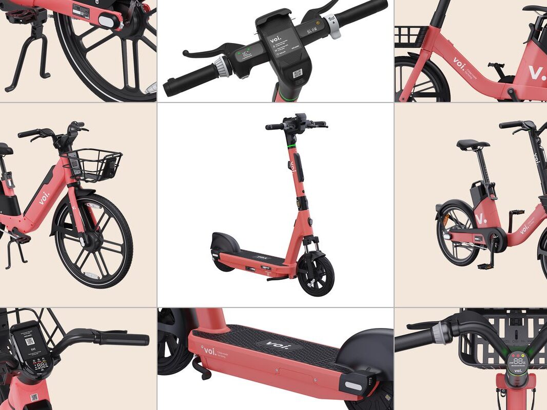
Voi and Google Join Forces to Enhance Service Accessibility
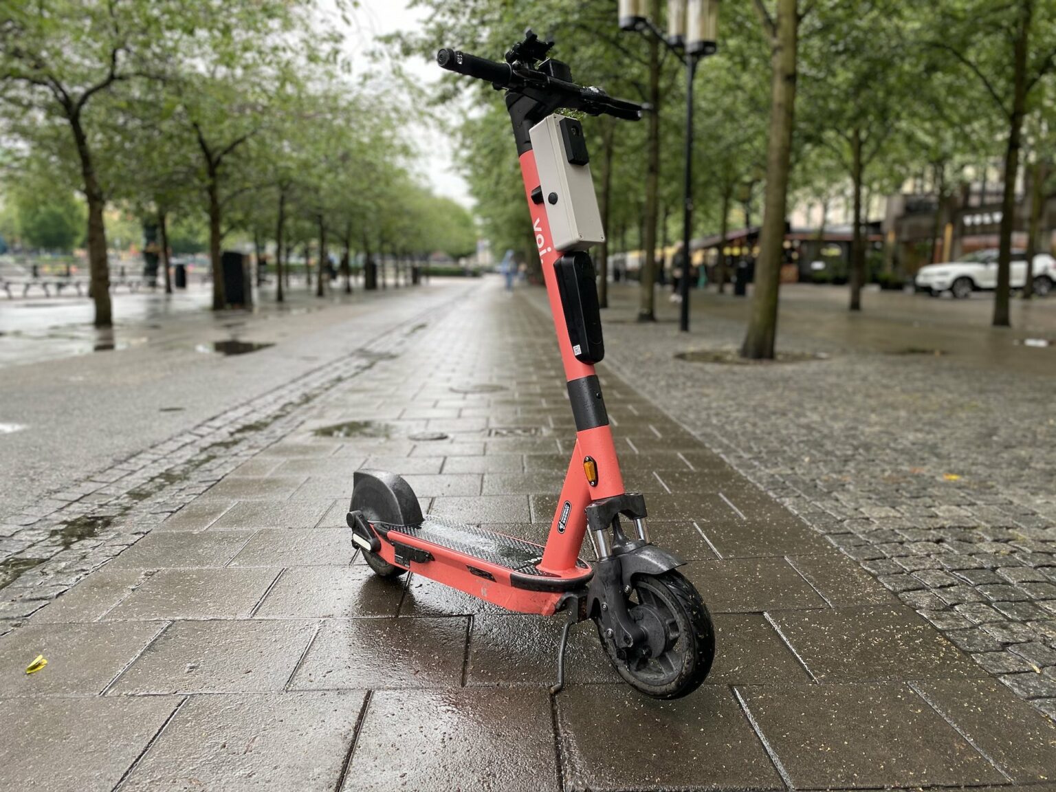
Did you ever jump on an e-scooter and think ‘What’s the fastest route to get to my destination?’, or went on a trip and found it difficult to access information on how to combine e-scooter trips with public transport around a new city? Then we’ve got exciting news for you! Voi has teamed up with Google in select cities around Europe, meaning you’ll be able to find e-scooters, check their status and plan multi-modal trips all in the Google Maps app.

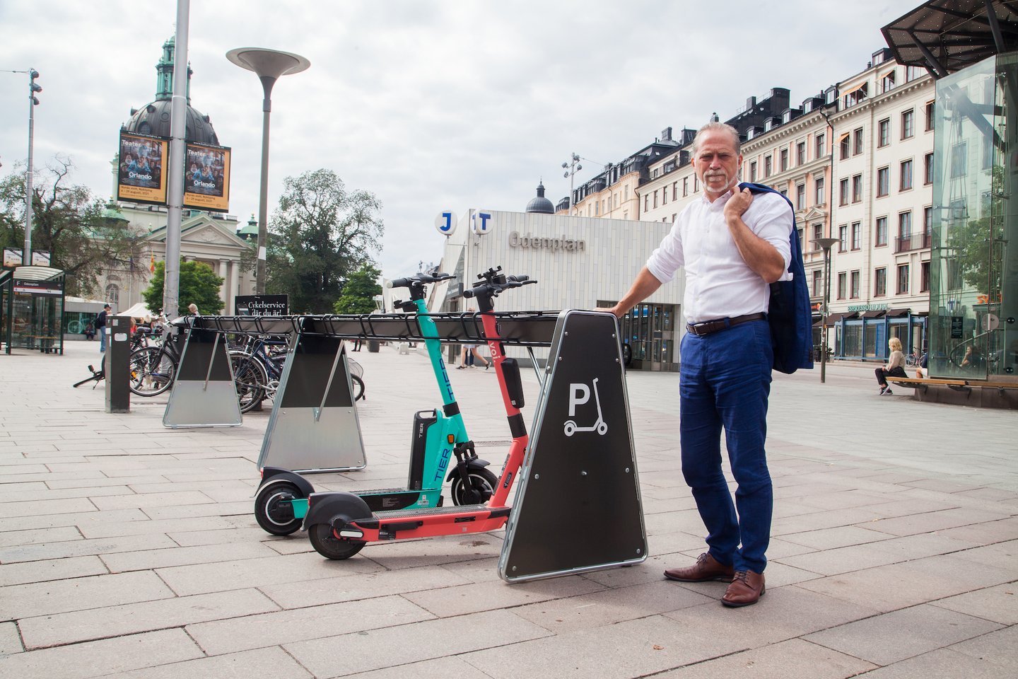
In an attempt to democratize equitable access to sustainable transport solutions, Europe’s leading shared micro-mobility provider and Google Maps join forces. As of now, Voi’s offering will be displayed on Google Maps in more than 22 cities, allowing users to plan trips more easily with the provision of prices, estimated times of arrival and the combination of other modes.
With launch today, the service is initially available in the following cities:
- Berlin, Cologne, Düsseldorf, Frankfurt, Hamburg, Munich, Nürnberg, Stuttgart in Germany
- Zurich in Switzerland
- Milan, Turin and Rome in Italy
- Oslo, Bergen and Trondheim in Norway
- Stockholm, Gothenburg and Malmö in Sweden
- Helsinki, Tampere and Turku in Finland
Other cities where Voi e-scooters are available are soon to be integrated into Google Maps. In doing so, the user experience can be described in three major steps:
- Users can find Voi’s offering in the tab ‘Your Bike’ and ‘Voi’ button in Google Maps.
- Voi’s e-scooters are, in closest vicinity to users, displayed after the user clicks on the scooter. With that, the users are also able to see the information of the scooter itself, such as battery status as well as the distance to scooters.
- To book and pay, the user will be redirected to Voi App via a link.
Interim VP Growth, at Voi, Caroline Hjelm, said:Our mission is to bring reliable, safe and sustainable mobility to our cities – to reduce noise and pollution. The collaboration with Google is yet another door opener towards enhanced accessibility of our service and thus, a great contribution to create seamless and integrated mobility solutions together.
On a global level, Voi counts more than 35 integrations with national and international MaaS platforms. Voi recently published a study with Deutsche Bahn/S Bahn Stuttgart where digital integration in local MaaS app was one driver towards increased train ticket sales.
This article was originally published by Voi Technology.