Ordnance Survey (OS) has released a new offering for the multi-modal routing of people and goods in Great Britain.
The OS Multi-modal Routing Network (OS MRN) fully integrates and connects over one million kilometres of existing OS Road, Rail, Path and Ferry networks and displays Modal Change Points to show users where they can transition between them.
This product has been developed as part of OS’s responsibilities under the Public Sector Geospatial Agreement (PSGA) and in response to customer feedback.
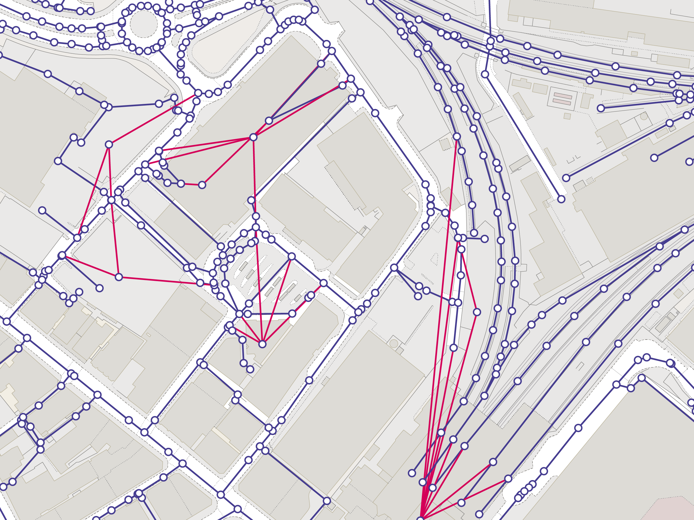
Alongside displaying road, rail, path and ferry networks, the system now includes over 300,000 key transport sites that connect them. This allows for routes to be planned from start to finish, such as from road to rail via a train station.
Information on road restrictions, vehicle access restrictions, road speeds and pavements are also included.
Providing all transport information within a single product aims to support routing applications and analysis across Great Britain. This will help local authorities develop their Transport Plans and Active Travel policies in line with government policy.
Specific examples of the benefits of OS MRN include:
- Enabling local authorities to plan safe routes to schools and colleges
- Delivering improvements in routing analysis
- Supporting emergency services to plan expected response times for incidents
- Helping commercial organisations to optimise freight logistics
OS MRN is designed in OpenStreetMap schema and is available for free to the Public Sector through the OS Data Hub. It is available to OS Partners under the Premium Plan.
Lead for PSGA Investment at OS, Jessica Gaskell, said:The release of the OS Multi-modal Routing Network is a great achievement, bringing together in one place OS’s transport network for Great Britain and the hundreds of thousands of sites where those different networks connect. Having listened to the needs of our customers, they will no longer need to join up multiple layers of data but can find them in one place. This is going to make a big difference to them, whether using simple routing or working on something more specialist.
In addition to the release of OS MRN, OS has also released a Tram Track attribution theme, which shows where trams are present on the road network.
This information aims to further support infrastructure and transport network management.
For example, it can be used by tram companies and local authorities planning maintenance and street works. In addition, it will advance understanding on where there are risks for cyclists and other road users due to the tram tracks using the same space.